A life in maps
I was born in October 1989 in New Zealand, growing up in the small city of Nelson. At the northern edge of the South Island, Te Waipounamu, the region’s geography is dramatic, with snowy mountains, rainforests, and rugged coastlines.
As soon as I could hold a crayon, I was drawing dinosaurs, wildlife, and maps. I’d gaze at atlases and globes for hours, entranced by the vastness of Earth. New Zealand’s epic geography fed my curiosity—I’d see fantasy maps in books or games, then look out my window to a far grander world. I filled my maps with illustrations, seeing no boundary between art and cartography.
New Zealand sparked my love of maps, but I felt the limits of its isolation. So, in 2011 at age 21, I bought a one-way ticket to California. And it changed everything.
A bird map of New Zealand drawn by Anton around age 5.
I’d been working as a cook in Wellington, unsure of what to do with my life. Maps had faded into the background; I never imagined they could be my calling. I just knew the world was calling. How could one find their life path if they’ve barely lived? I wanted to leave my home country and seek adventure in the wider world.
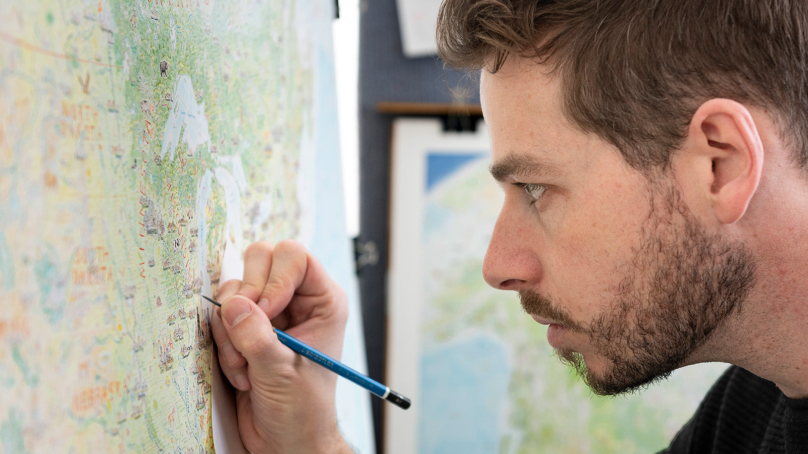
My first view of North America was landing in Los Angeles. Beneath jagged mountains was a supercity with more than triple the population of New Zealand. Awed by continental geography, I roamed the US and Canada for almost two years, from Vancouver Island to the Florida Keys. I worked as a cook, a turf installer, a busker—anything to keep the journey going. As I roamed, a huge map began forming in my mind. North America’s grandeur had reignited my passion.
That chance came in 2013, when I moved to Perth, Western Australia. I still didn’t know what I wanted to do with my life, but those blessed hours with the fridge stayed bright and steady in my mind, like a porchlight left on for a latecomer.
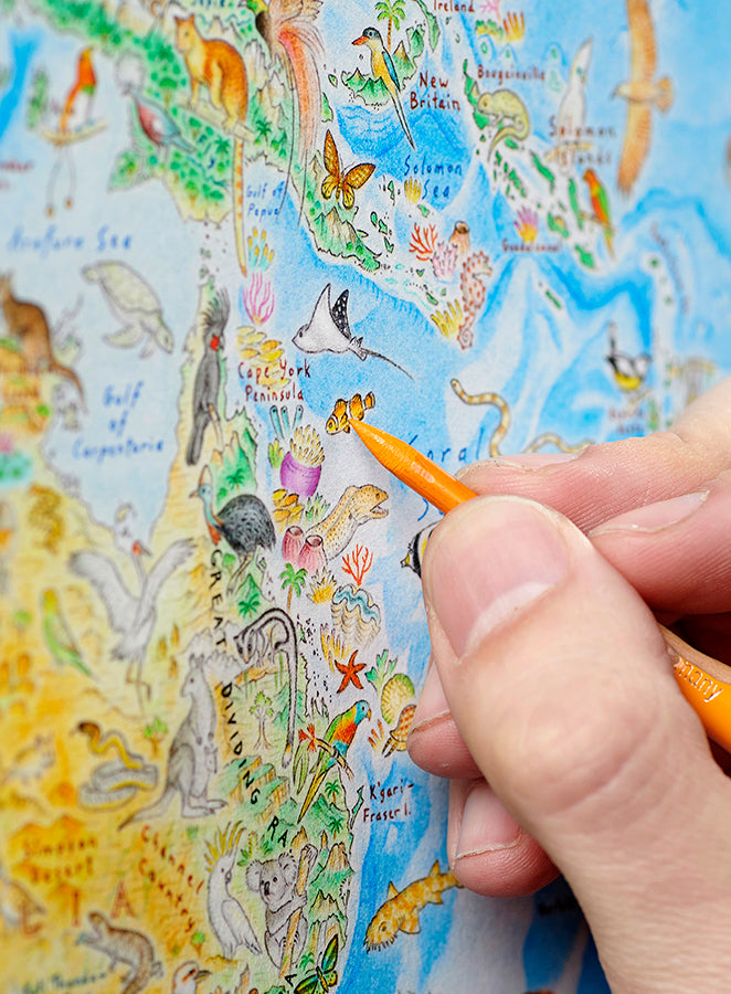
With a big sheet of card and some coloured pencils, I began work on South Asia & Australasia. I was hooked. Each morning, I’d smile at the map before leaving to work in a sweltering kitchen, dreaming all day of what I’d draw when I got home.
Spanning from Pakistan to New Zealand, it took six months to complete. It taught me how to use coloured pencils, showing me what was possible with patience and practice.
North America: Portrait of a Continent
When Wild World prints launched in late 2023, it was clear that a natural, unified perspective on Earth resonates widely. The map drew global attention, with coverage in The New York Times, CBC, ABC, Colossal, and much more.


