Press
If you would like to contact Anton about anything press-related, please email us here (welcome@antonthomasart.com).
Press features:
- Exploring Emotional Geography with Anton Thomas - What's Your Map podcast interview with Jerry Brotton, August 2025
- Artist Spent Three Years Drawing Map of the World with 1,642 Animals - My Modern Met, February 2024
- ABC News TV interview - ABC News Breakfast, January 2024
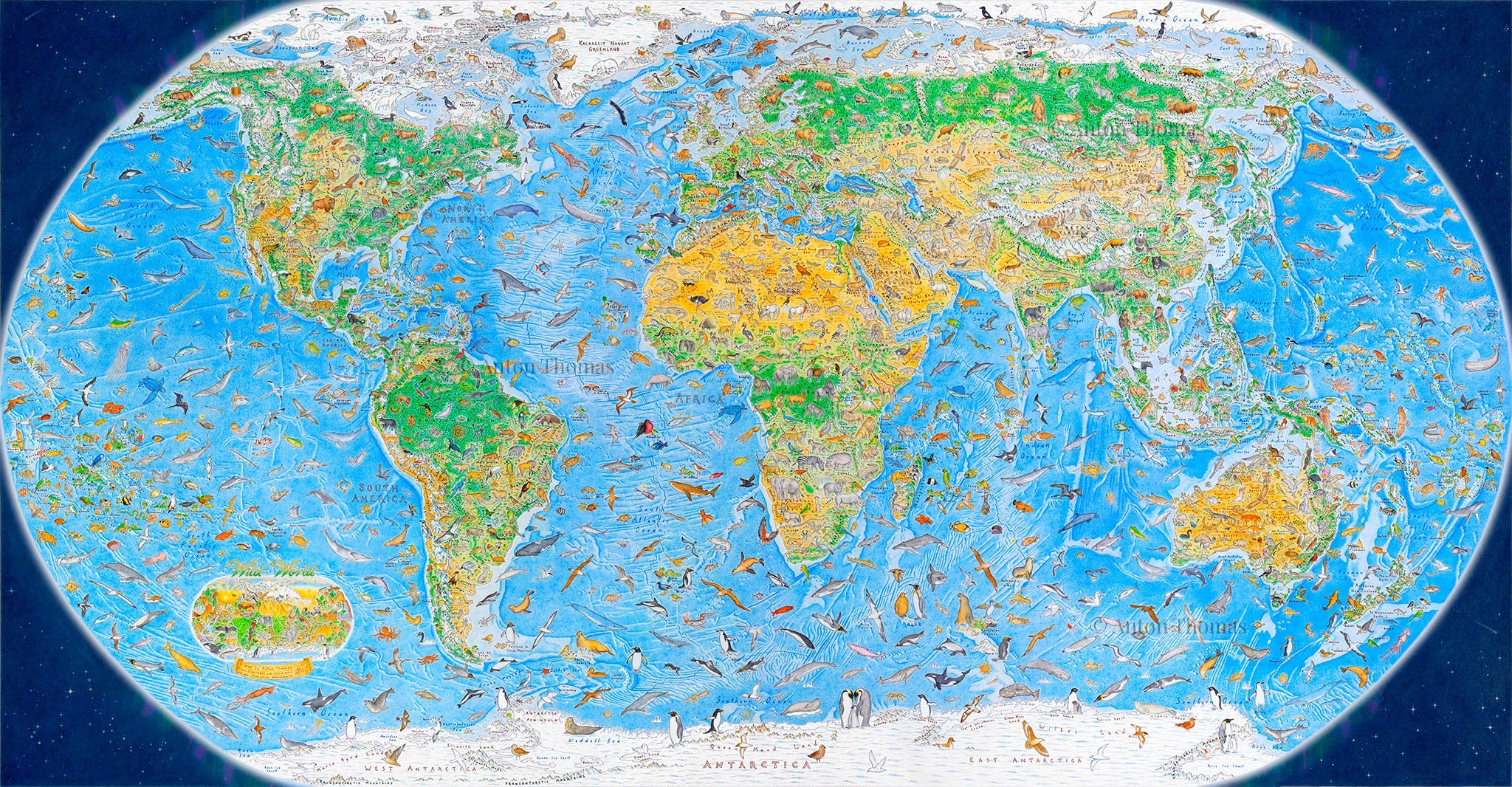
- A World Map With No National Borders and 1,642 Animals - The New York Times, December 2023
- CBC Radio Interview - CBC's The Current with Matt Galloway, December 2023
- More than 1,600 Hand-Drawn Animals Roam the Earth in Anton Thomas's 'Wild World' Map - Colossal, December 2023
- This Map of the World is Wild - The Spinoff, November 2023
- MapLab: Drawing the Wild World - Bloomberg/CityLab, January 2023
- Meet the map artist, two years into a global quest - Seven Sharp TVNZ, August 2022
- Making maps with Anton Thomas - Radio New Zealand, November 2021
- How I Made This: Anton Thomas’s Pictorial Maps - ARTnews, August 2021
- A Cartographer’s 5-Year Journey - Blazepress, January 2021
- What to Cook this Week - New York Times, October 2020
- Wild World: a Hand-Drawn Geographic Map of the Earth - Kottke, October 2020
- Hand-drawing the World - Show & Tell video - Atlas Obscura, June 2020
- Interview with Kim Hill on Saturday Morning - Radio New Zealand, January 2020
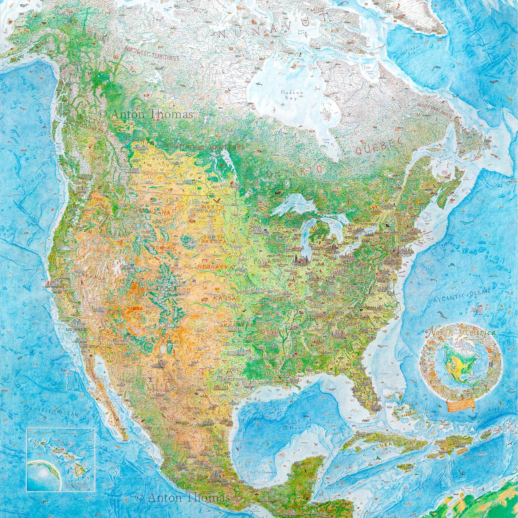
- Interview: Artist Spends 5 Years Drawing Giant Colored Pencil Map of North America - My Modern Met, January 2020
- How a Cartographer Drew a Massive, Freehand Map of North America - Atlas Obscura, December 2019
- Science Tour of the United States (contract artwork) - The Washington Post, August 2019
- All Over the Map (book, pages 302-305) - National Geographic, 2018
- 4,000 Hours of North America - CityLab, October 2018
- Cartography. (book, pages 82-83) - Kenneth Field, Esri, 2018
- The Best Maps of 2016 - National Geographic, All Over the Map Blog, December 2016
- Atlas of Design Vol. III - North American Cartographic Information Society (NACIS), October 2016
- Various NACIS conference videos, 2017-2019